Digital Geotechnical Ltd is a small specialist consultancy that focuses on data management and the application of digital technologies in the ground engineering sector. Full details of the services we provide are given on our Services page.
Digital Geotechnical Ltd is registered as a company in England and Wales. We are also UK VAT registered.
We are based in the United Kingdom and set up to primarily serve the UK market. However, in today’s online world we would be happy to talk to you wherever you are in the world.
Within the UK, we are based in Wokingham, Berkshire, which is within easy reach of London, the South East, most of southern England, and parts of Wales, the South West and the Midlands. However, given that our focus is on digital technologies, we anticipate that most of our communication with clients will be online, and therefore we would be happy to work with you wherever you are based.

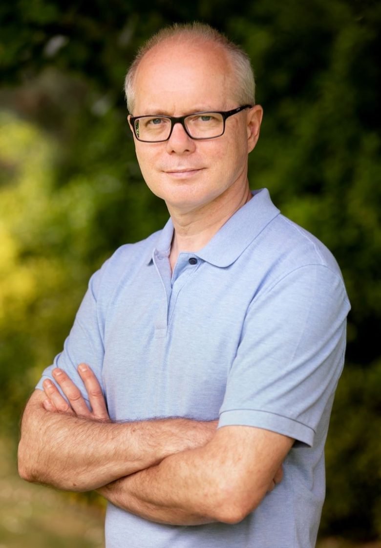
Digital Geotechnical was founded by Neil Chadwick in early 2021. At the time of writing, Neil is the sole employee of the company, i.e. it is the vehicle for Neil selling his expertise.
Now that we have established that Digital Geotechnical is just me (for the time being at least), please allow me to revert to the first person singular so that I can introduce myself properly! I will also give a little bit of background about the business…
I am a chartered civil engineer who has been working as a geotechnical engineer in the consulting sector for over 30 years. I graduated from City University (London) in 1991 with a BSc(Hons) in civil engineering (first class). In the early part of my career I worked for Travers Morgan & Partners, who later became part of Capita. Prior to forming Digital Geotechnical, I spent 22 years at Arup, a world class multi-disciplinary engineering and design consultancy.
Within the field of geotechnics, I have always been interested in data management and digital technologies. This started way back in 1990 when I developed a spreadsheet-based application for the design of reinforced soil retaining walls, which was used on the M20 widening project. In my early Arup years I continued to dabble with automation using VBA macros in Word and Excel. But my main focus at Arup was data management where I played a major role in the development of their geotechnical data management system, based around the gINT software package.
For much of my career, I struggled to get management buy-in to pursue data and digital projects. With investment funds difficult to come by, a lot of digital development was undertaken by hobbyists like me on an ad hoc basis. I know that this problem was not unique to Arup who, to be fair, have always been one of the more digital savvy companies.
The emergence of BIM and the subsequent digital awakening over the last decade or so has changed the picture completely. Management everywhere has suddenly become interested and funds for development have been unlocked. Having said that, I confess that I have often been frustrated by the allocation of some of those funds!
In 2014, as part of the Arup Masters programme I studied for a PgCert in BIM and Integrated Design, on a course run by the University of Salford. Armed with new skills and knowledge, I became the first BIM and digital champion for the global Geotechnical Skills Network at Arup. I remained actively involved in a growing digital geotechnical community as adoption of digital technologies blossomed across Arup and the rest of the industry,.
I have always liked to be ‘hands on’ when it comes to digital development, trying out new tools and technologies for myself, picking up new skills along the way. A few years ago I got into Python coding, which I then successfully used to complete an automation project for GI reporting that had been on the wish list for many years. Following my departure from Arup, I have been able to devote more time to study and I have been able to expand my repertoire of digital skills and knowledge.
I have always been a keen supporter of the AGS data transfer format for ground investigation data. In 2007, working closely with a GI contractor I developed a methodology for transfer of laboratory test schedule information. This work subsequently formed the basis of the laboratory test scheduling functionality introduced in AGS4.0. In 2016, I was invited to join the AGS Data Management Working Group, initially to work on an extension of the format to cover piling data, a draft of which was first published in 2017 (and rebooted in 2021). I then went on to be the lead author of AGSi, a new format for exchange of ground model and interpreted data, which was launched as a beta version in 2020. I remain active in this group, working on several of their current initiatives.
Representing Arup and AGS, I have also forged links with buildingSMART (open standards for BIM, primarily IFC) and the Open Geospatial Consortium (OGC), looking at the advancement of global standards for geotechnical data.
I should remind you that I pursued the above data and digital interests and roles whilst also carrying out my day job as a geotechnical engineer and manager, working on multidisciplinary building and infrastructure projects and other consultancy work. I took on various roles on a wide variety of projects including Crossrail, Westfield Stratford City, London 2012 Athletes Village, TAG McLaren Technology Centre (Woking) and Soho Place (London).
The origins of Digital Geotechnical can be traced back several years. From my biography above you can see that I have often been frustrated by lack of management interest in data and digital. The recent digital awakening has improved matters, but the downside is that now everyone wants to get involved in digital. Sometimes it is difficult to make your voice heard above all the noise! And when I was at Arup, I still had the day job to do, as I was often reminded.
Against this background, the idea of going it alone, focussing fully on my specialist expertise in data and digital for ground engineering, has appealed to me for some time. However, in my case the risks involved in setting up such a venture were just too much of a barrier, until…
In 2020, in the middle of the Covid-19 pandemic, I got made redundant by Arup. This was not something I wanted, or was happy about, of course. However, I quickly realised that it presented an opportunity. Firstly, to start a new business I would no longer have to take a risk by leaving my job – that decision had now been made for me! Secondly, my length of service at Arup meant that I benefited from a substantial redundancy payment.
Armed with time, a bit of money and perhaps also a bit of a chip on my shoulder, I quickly decided to go it alone and set up what has now become Digital Geotechnical Ltd. It took a little longer to launch than originally planned due to various distractions, including the Covid-19 lockdowns, but I got here in the end.
As I write, at launch in May 2021, the ‘company’ is just me, and I’m fine with that right now. Will it grow? Let’s see how it goes. One step at a time…
BSc (Hons) Civil Engineering, City University
Chartered Engineer, Member of the Institution of Civil Engineers
PgCert Building Information Modelling and Integrated Design, University of Salford
IAM Certificate in Asset Management
Practitioner member, Association of Geotechnical and Geoenvironmental Specialists (AGS)
Member of the AGS Data Management Working Group
Member of the AGS Geotechnical Working Group
Member, British Geotechnical Association
Boddy J.M., Pennington M & Chadwick N.C. (2021). Guidance on the Standardisation of Pile Data Capture. Piling 2020: Proceedings of the Piling 2020 Conference. https://www.icevirtuallibrary.com/doi/full/10.1680/pttc.65048.561
Chadwick N., Farmer D., Chamfray J., Miles S. (2020). Extension of the AGS Format to Incorporate Ground Model and Interpreted Data. Information Technology in Geo-Engineering. ICITG 2019. http://doi.org/10.1007/978-3-030-32029-4_20
Chadwick N.C., Pickles A.C. and Sekulski E.M. (2006). Data Transfer and the practical application of geotechnical databases. GeoCongress 2006: Geotechnical Engineering in the Information Technology Age. https://doi.org/10.1061/40803(187)110
Our privacy policy, which includes our cookie policy, can be found here.